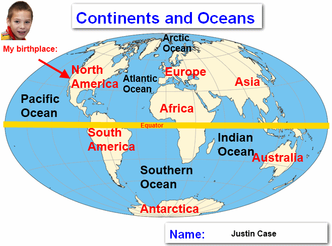
Labeling the World Map
Assignment: Students will use an image annotator / paint program to label a world map. Students add text illustrating the locations of the seven continents of North America, South America, Europe, Africa, Asia, Australia and Antarctica. Students add text illustrating the locations of the five oceans for the Pacific, Atlantic, Southern, Indian and Arctic. Students can also draw a line along the Equator and the Prime Meridian. Students can also insert an image of themselves showing their current location or birth location on the map.
Image Annotation Apps: These apps are free to use for annotating images.
- Zoho Annotator - Google Chrome Browser and Chromebooks
- Apple Preview app for Macs
- Paint.NET for Windows
Finished Example:
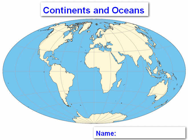
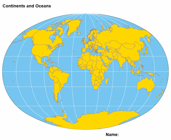
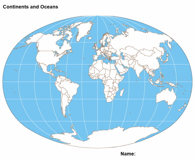
World Images for Labeling:
To use these images for labeling, right click on the image and "save picture as.." or, Copy & Paste them.